

COMMUNITY
Plans + Reports
Multimunicipal Plans
Subdivision
+
Land Development
Applications
There is always strength in numbers, and the LVPC is here to assist any municipality that’s chosen to work with its neighbors. Through multi-municipal comprehensive plans, communities can address common priorities, while maintaining local autonomy and control. That can mean sharing costs for goods and services or partnering on issues that cross municipal borders, such as roads or economic development. Perhaps the biggest benefit is the ability to collectively manage development.
The LVPC completed the Southwest Lehigh County Multi-Municipal Comprehensive Plan in 2016 and is currently working on three additional efforts that include ten communities in the Nazareth area, six communities in the Northern Lehigh area and ten communities in a first-time effort Slate Belt Multi-Municipal Comprehensive Plan. Another five communities in the River Central area kicked off a first-time planning effort in 2020 as well. Whether preserving agriculture and open space or fostering downtown redevelopment, we’re honored to help more Lehigh Valley communities prepare for a balanced, successful future.

SOUTHWESTERN LEHIGH COUNTY MULTIMUNICIPAL PLAN

This plan represents the culmination of nearly two years of intensive research, community engagement and development of a collective vision for the six municipalities in Southwestern Lehigh County: Lower Macungie Township, Upper Milford Township, Lower Milford Township, and the boroughs of Macungie, Alburtis and Emmaus. These municipalities first engaged in the multimunicipal planning process in 2001 and adopted a shared Comprehensive Plan in 2005. The following document is the first complete update to that Multimunicipal Comprehensive Plan.
READ THE PLAN
Nazareth Area Multi-Municipal Comprehensive Plan

The purpose of the Nazareth Area Multi-Municipal Comprehensive Plan is to enable the Boroughs of Bath, Chapman, Nazareth, Stockertown and Tatamy and the Townships of Bushkill, Hanover, Lower Nazareth, Moore and Upper Nazareth to shape their collective vision for the future. Each municipality keeps their autonomy and control but planning as a region enables them to take advantage of geographic similarities and address their common priorities, while better managing an evolving development landscape.
This plan is the result of three years of work by representatives of each communities to update the first Nazareth Area Plan, adopted in 2007. This Final Draft Update has been sent to contiguous communities, school districts and the county for review.
READ THE PLAN
NORTHERN LEHIGH MULTIMUNICIPAL COMPREHENSIVE PLAN

The purpose of the Northern Lehigh Multi-Municipal Comprehensive Plan is to enable the Borough of Slatington and the Townships of Heidelberg, Lynn, Lowhill, Washington and Weisenberg to shape their collective vision for the future.
Each municipality has prepared its own comprehensive plan in the past and will keep their autonomy and control but planning as a region will enable them to take advantage of geographic similarities and address their common priorities, while better managing an evolving development landscape.
The Plan is the result of three years of work by representatives of each communities to update the first Northern Lehigh Multi-Municipal Comprehensive Plan, adopted in 2004.
READ THE PLAN
PLAN SLATE BELT MULTIMUNICIPAL COMPREHENSIVE PLAN

Slate Belt communities have a rich history dating back more than 250 years, but for the first time ever ,10 municipalities are partnering to build a bright future.
The purpose of the Slate Belt Multi-Municipal Comprehensive Plan is to enable the boroughs of Bangor, East Bangor, Pen Argyl, Roseto, Portland and Wind Gap and the Townships of Plainfield, Washington, Lower Mount Bethel and Upper Mount Bethel, to shape their collective vision for the future.
Each municipality has prepared its own comprehensive plan in the past and will keep their autonomy and control but planning as a region enables them to take advantage of geographic similarities and address their common priorities, while better managing an evolving development landscape.
The Plan Draft below is the result of three years of work by representatives and stakeholders of each community to create the first Slate Belt Multi-Municipal Plan.
READ THE PLAN
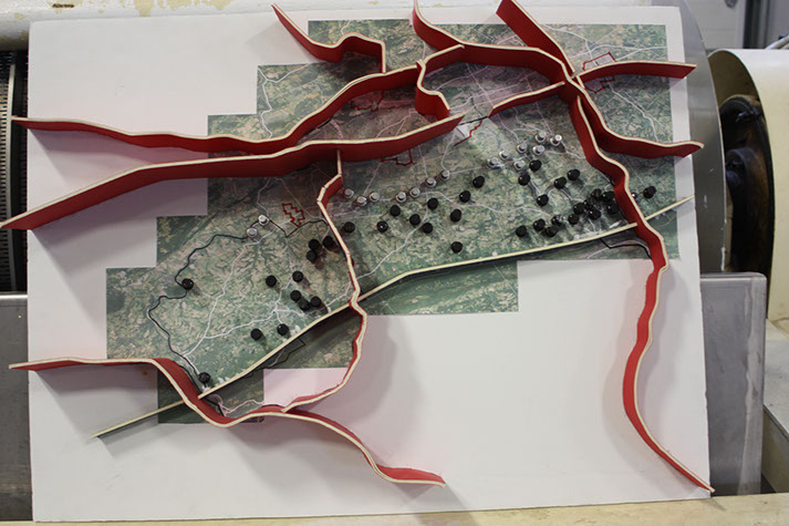
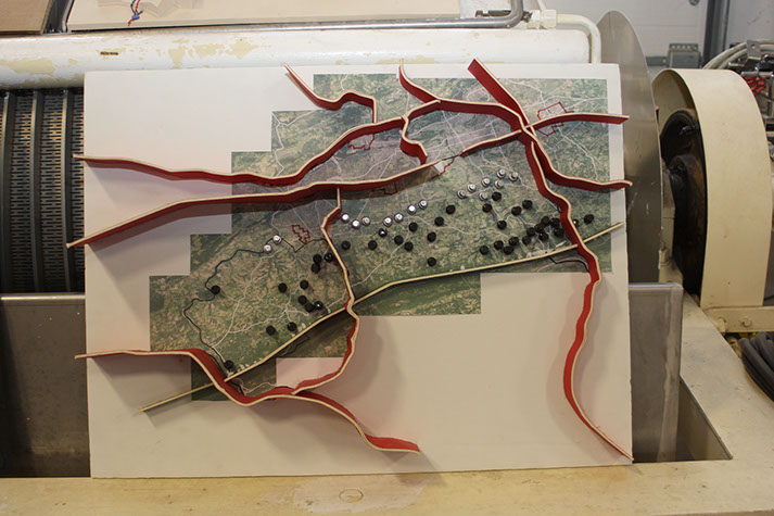
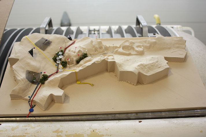
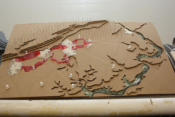
PennPraxis Collaboration
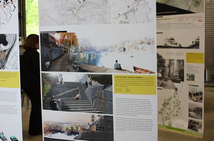
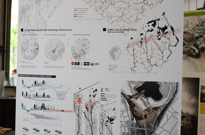
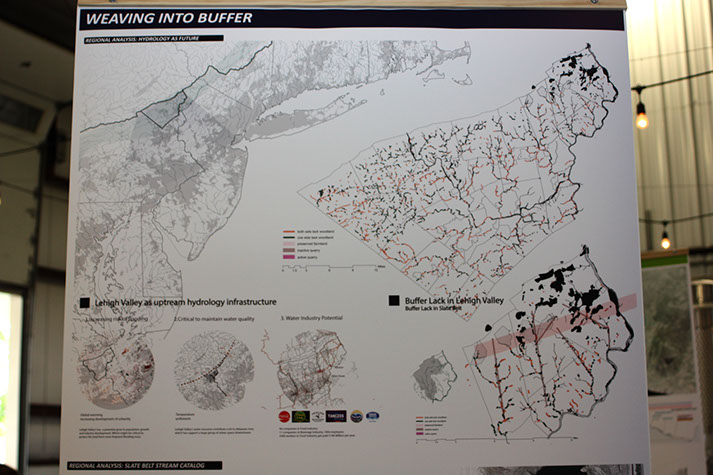
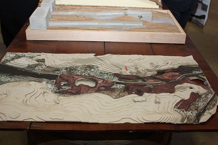
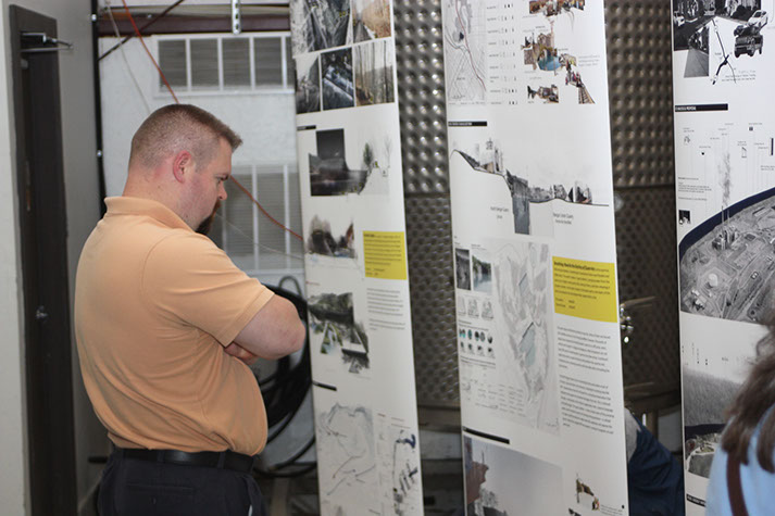
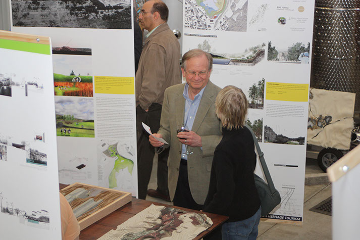
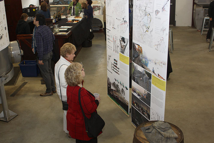
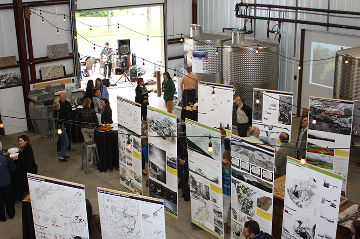
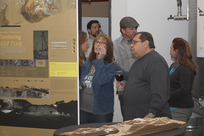
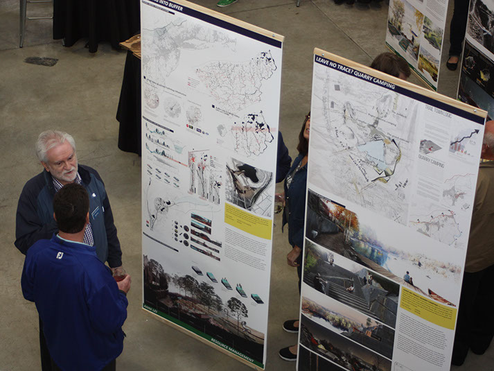
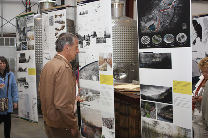
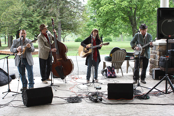
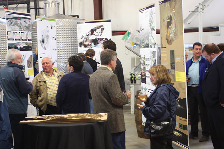
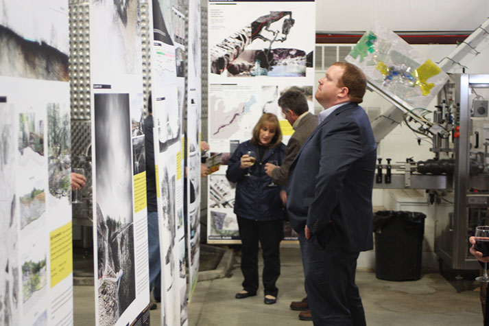
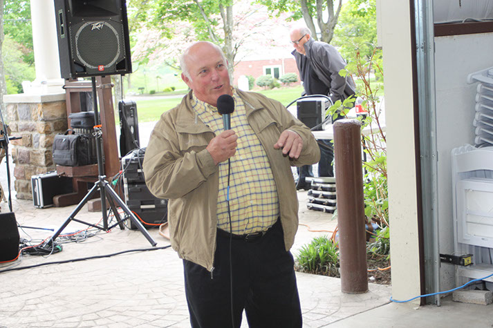
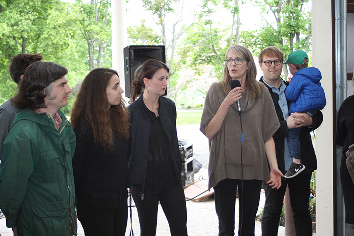
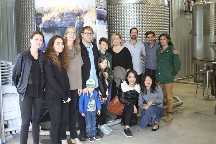
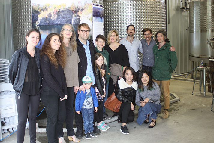
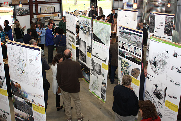
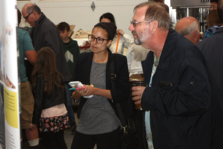
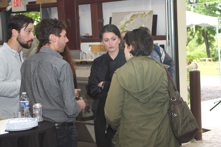
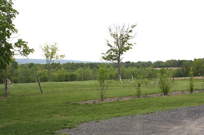
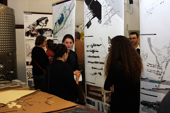
SLATE BELT MULTIMUNICIPAL PLAN LAUNCH - May 12, 2017
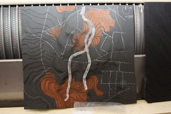
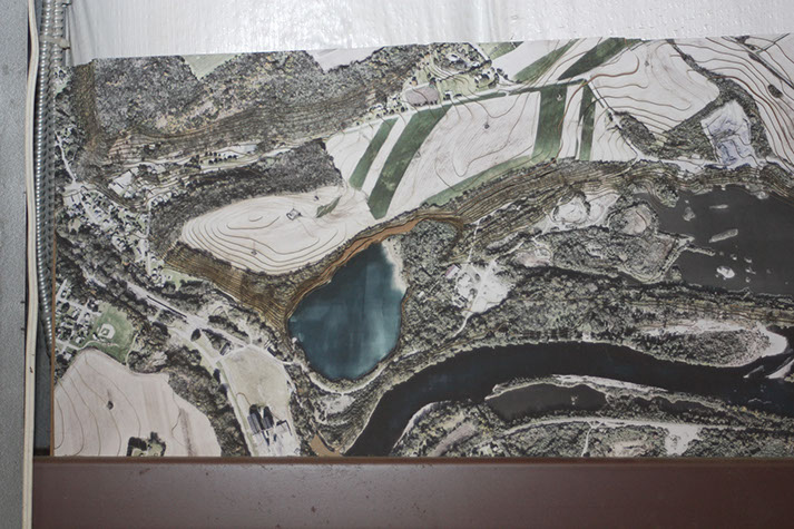
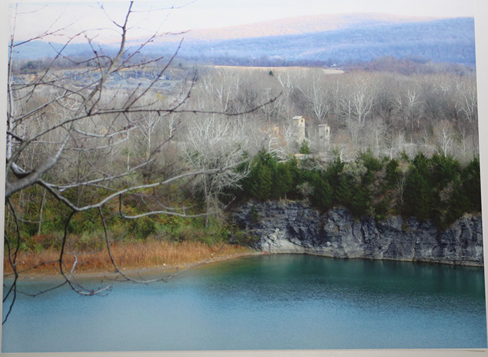
The footprints of the Slate Belt industry - one of the largest contributors to Pennsylvania’s 19th century economy – dot
the landscape of one of the most diverse economic, cultural and natural landscapes within the Lehigh Valley. These
‘Slatelands’ were the subject of a thrilling collection of work undertaken by students of the PennDesign School of
Landscape Architecture during the fall semesters of 2015 and 2016 and focus on re-visioning overlooked and
undervalued assets.
The design proposals envision a regional resurrection through the coordination of strategies ranging from economically-
driven development within small town cores to subtle, environmentally-driven tactics in the peripheral wetlands and fens.
Although the radical re-interpretations of the Slate Belt’s landscapes may allude to fantasy, they are in fact the seeds of
very real possibilities for a not-too-distant future. The thoughtful and bold ideas captured in the PennDesign work
establishes a framework for the Slate Belt’s future and underpins the planning and implementation occurring in the
months and years to come.
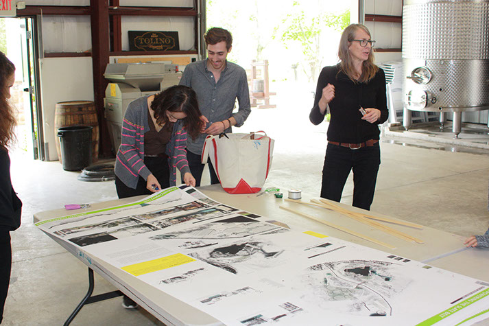
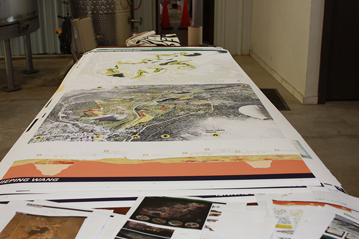
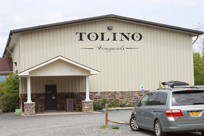
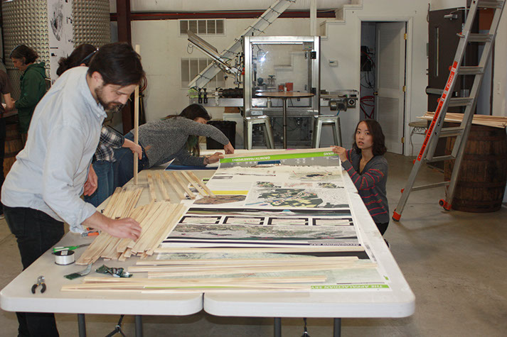
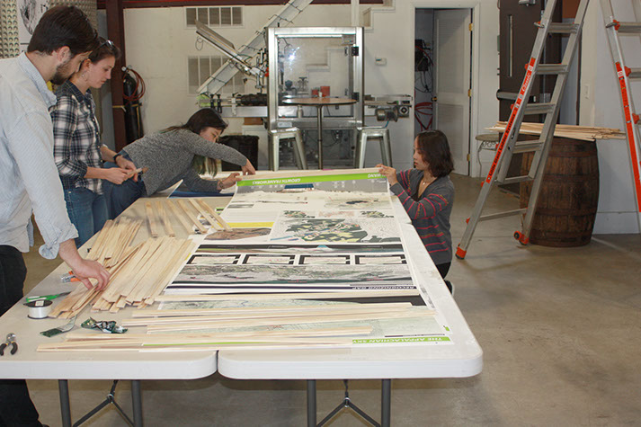
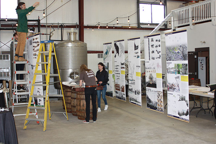
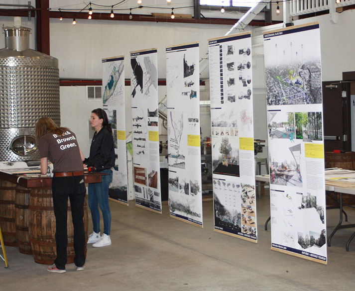
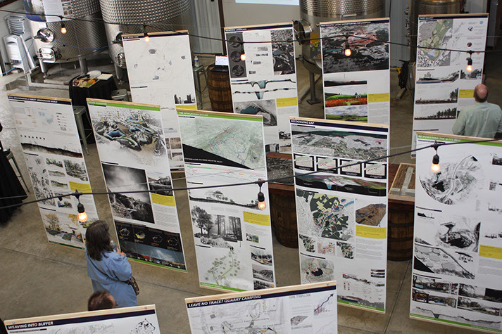
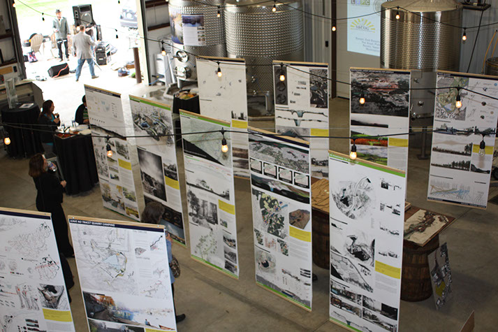
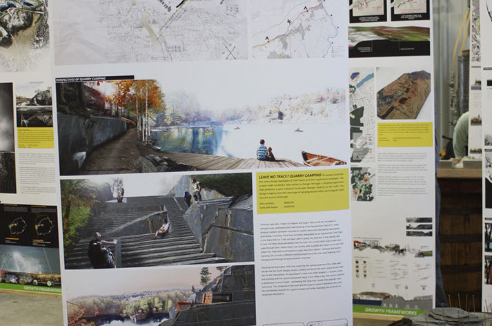
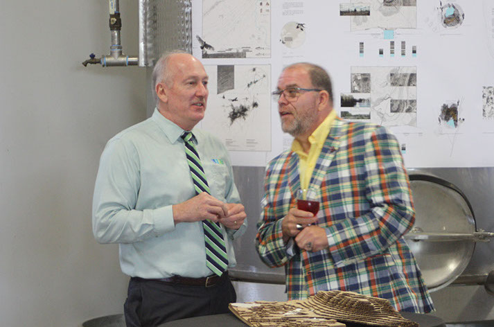
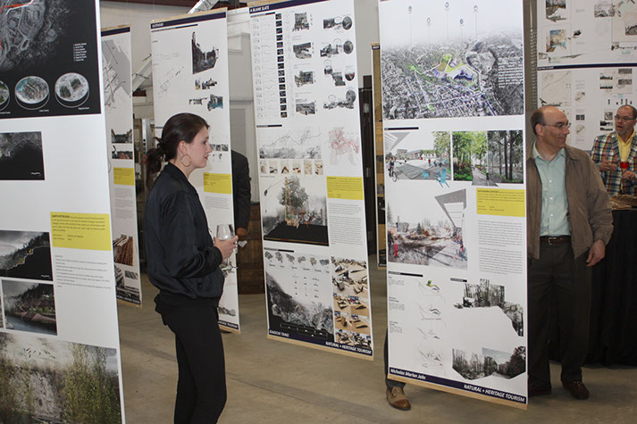
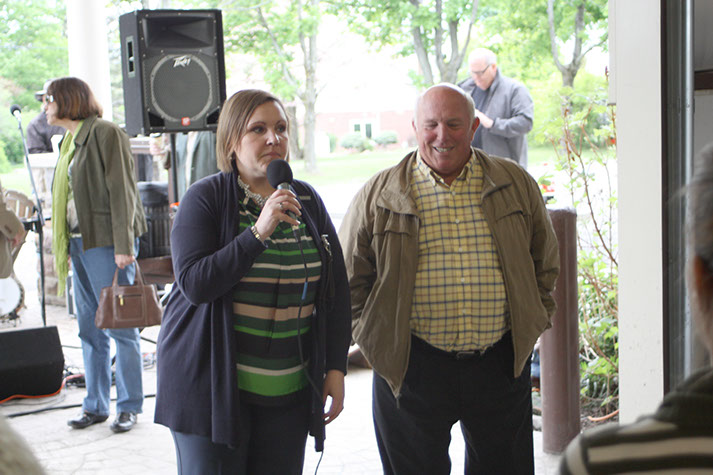
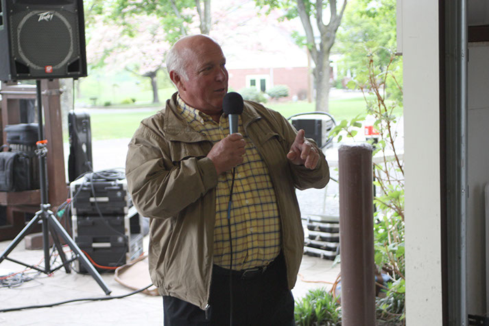
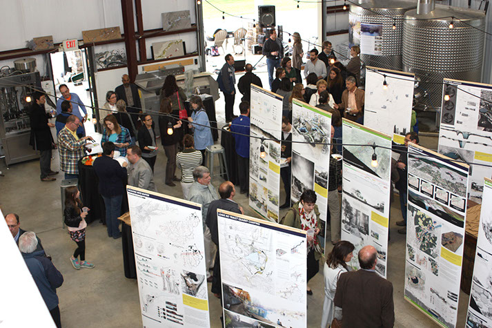
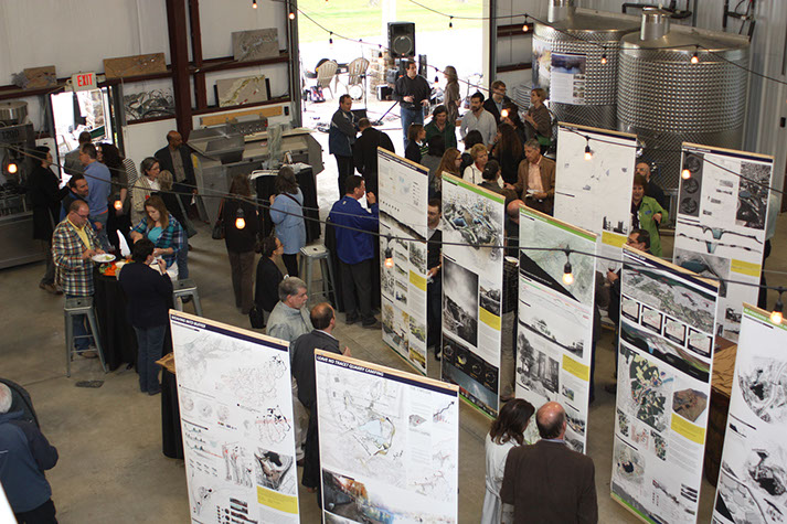
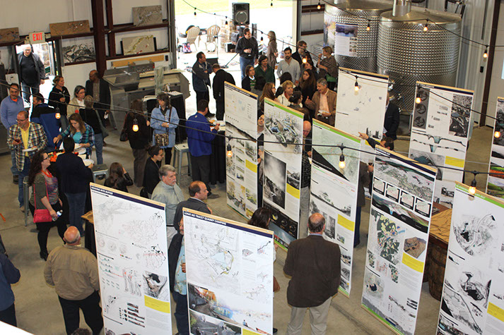
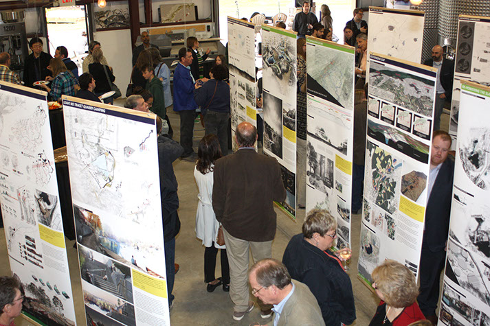
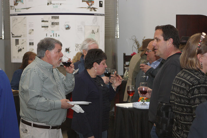
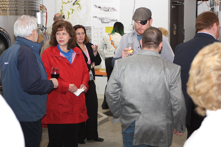
The work was presented in a pop-up exhibit on May 12, 2017 at Tolino Vineyard, attracting a lively crowd and generating positive discussion about opportunities for engagement in the future of the Slate Belt. Check out the photos from the event below!
The complete set of PennDesign projects is now available for view in the Slatelands Exhibition Book.


56 - 70
<
>


▼
RIVER CENTRAL MULTIMUNICIPAL COMPREHENSIVE PLAN

The River Central area is positioned right in the heart of the Lehigh Valley. Included in this subregional area, spanning Lehigh and Northampton Counties, are the boroughs of Catasauqua, North Catasauqua and Northampton, and East Allen and Hanover Townships.
The River Central Multi-Municipal Planning Steering Committee will lead an effort to draft, and to ultimately adopt, a comprehensive plan for the municipalities, shaping their collective vision for the future.
A multi-municipal comprehensive plan allows each municipality to keep their autonomy and control, but allows the communities, as a region, to take advantage of geographic similarities, address common priorities and better manage an evolving development landscape. The multi-municipal plan will determine common goals and objectives for areas of land use, housing, air quality, transportation, development, recreational facilities, natural and scenic resource conservation, farmland preservation and economic development. This joint planning effort also facilitate the sharing of resources in support of the long-term sustainability of the municipalities.
The plan will be used as a road map for the future, but it is also a living document that can be changed and updated as trends and conditions evolve.
Developing the River Central Multi-Municipal Comprehensive Plan will involve monthly steering committee meetings, public outreach and input, and a detailed housing, economic, demographics and land use analysis. The plan is scheduled to be competed at the end of 2022.
Lehigh Valley Planning Commission
961 Marcon Boulevard - Suite 310
Allentown, PA 18109
Phone: (610) 264-4544
Toll Free: (888) 627-8808